
Ciao Quito!
Hola Galapagos!
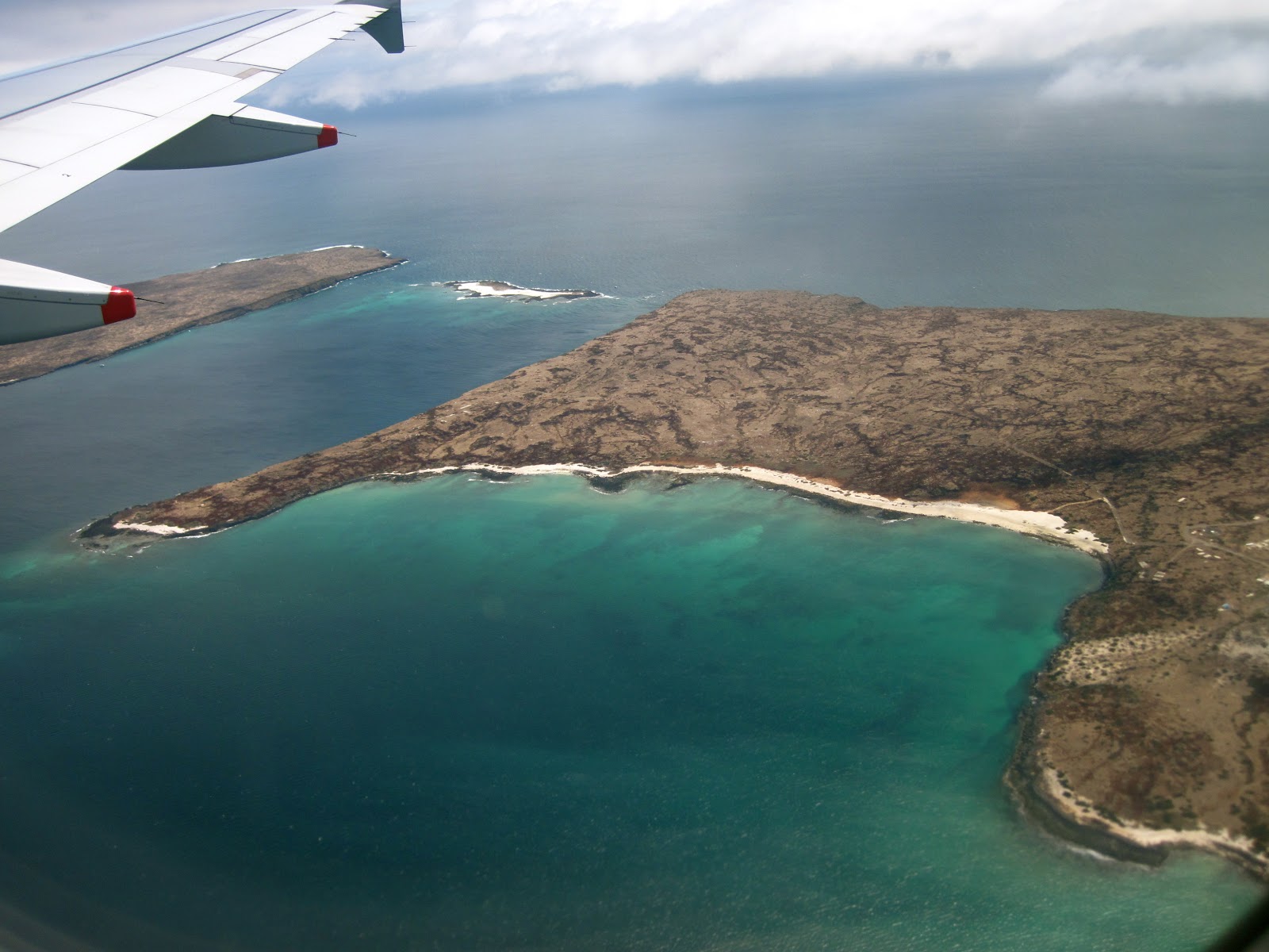
It didn’t take long to get to Isabela from Quito, just 8 hours. The ride included a 3hour flight to Baltra (a small island just north of Santa Cruz), a 10 minute boat ride to Santa Cruz, followed by a 30-minute ride to cross Santa Cruz and a 2 ½ hour boat ride across the Pacific to Isabela. Isabela Island doesn’t have an aeropuerta. The ride across the Pacific was fairly choppy and even with 2 Dramamine I had to keep staring at the rock formations along the horizon to prevent from dry heaving over the side of the boat.

Isabela Island, named after Queen Isabela of Spain who
sponsored the voyage of Columbus, is the largest of the Galápagos islands. It is the largest of all the islands
and maintains 60% of the land in the Galápagos.
The island is shaped like a seahorse due to the merging of 6 volcanoes into a
single landmass: Cerro Azul,
Sierra Negra (Santa Tomás), Alcedo, Darwin, Wolf and Ecuador, all of which are
still active except for Ecuador. The town we are currently staying in is
small and quaint with sand-covered roads surrounded by beautiful white sand beaches.
I walk the 500ft to the beach barefoot and the locals are all very friendly and
say ‘hallo’. I’ve learned very quickly that you must pay attention to where you
walk, as it is very easy to stumble across a sleeping sea lion or a group of
iguanas soaking up the sun.

They're all facing the sun. It's actually kind of creepy.

Arriving to the island on Sunday late afternoon we dropped
off our things at the hostel, ate lunch, and headed for the beach. Class occurs
two hours each morning on the days we don’t have field trips and tends to
involve the beach and long naps, although this can become dangerous because the
sun is very hot.

The town church is to the right; our hostel is down the road to the left.

The beach is just beyond the palms at the end of the street.

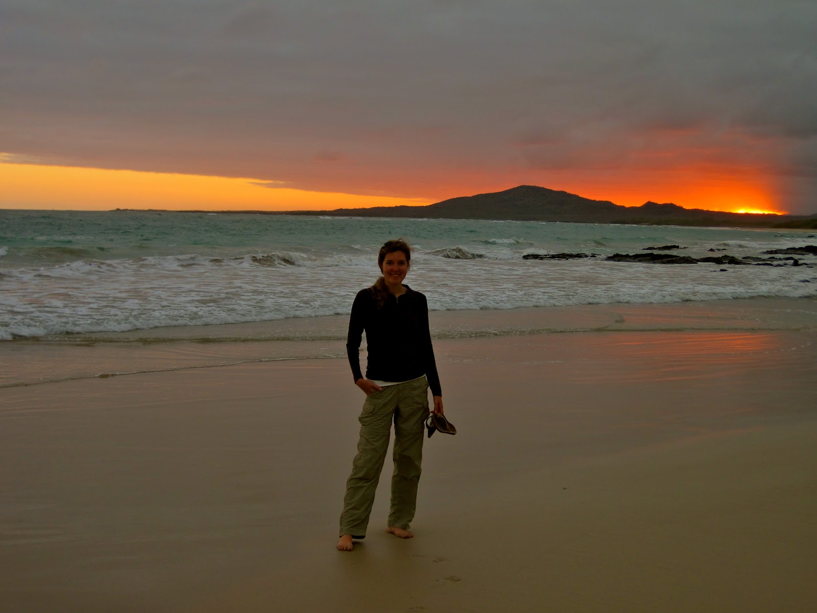
Sunset on the our first night
Our expeditions into the unknown, where each new turn in the
path could prove something new and exciting, occurred on Tuesday and Thursday
this week. On Tuesday we hiked a 16km trail along the rim of Sierra Negra to Volcán Chico. Sierra Negra, a caldera, is a known
hotspot of the Galapagos Islands, as it has erupted fairly frequently over the
last 200 years, with 12 eruptions (that’s a lot!). At 60Km long, 40Km wide, and
1100m above sea level, Sierra Negra is not the highest volcano I’ve been to,
although she is one of the most grand. This basaltic shield volcano is a
caldera with very steep walls (and I know this because I’ve climbed down them)
and an almost flat floor. The floor of the caldera is actually the roof of the
magmatic chamber (wow!) and the elliptical shape of the caldera mimics that of
its magma chamber. The last eruption of Sierra Negra was in 2005, occurring along
the ring fracture of the flank and causing the lava flow to enter the caldera,
covering 1/3 of the floor. Because this lava cools slowly there is still a
tremendous amount of heat radiating from the cooling lava below the basaltic
rock.

On tuesday we walked along the trail to the right which is 12.5Km roundtrip. On thursday we walked the trail to the left of Sierra Negra which was 25km roundtrip. Obviously this map is not to scale.

Lava morning glory

The caldera of Sierra Negra. Lots of hot basaltic rock.

60km x 40km caldera
Volcán Chico contains a wasteland of volcanic basalt with defined scoria (cones that are the fastest way to build a mountain), lava tunnels (the outer lava cools, creating a tunnel), and spatter cones (those that form by accumulation of hot lava which then weld rock fragments together, creating steeper slopes). The lava rock in this area are mostly “aa” (pronounced ahah), a Hawaiian term (another hotspot). If you fall on one of these rocks you’re practically guaranteed a trip to the inferior-looking medical facility on the island. Trust me, it doesn’t look like you’d want to go there.

View of the Pacific from Volcan Chico


Lava Tunnel

Mass wasteland of aa basaltic rock

Along the return hike I attempted to keep up with those that
like to ‘race’ back to the van to wait for the rest of us to get there, but
given that we hadn’t eaten in 7 ½ hours the cows along the side of the path
were much more interesting at the moment. After watching them eat for maybe 5
minutes I realized I was alone and the trail I had been walking down (a better
explanation is mud path) seemed very unfamiliar to me. Actually, I truly had
never been down this mud path before. Even so, I kept walking through the
blinding mist until I came to a T in the path. Thank goodness for the voices of
others because if it hadn’t been for my wonderful classmates I may still be lost
along that mud path staring at the cows.


The tortuga fire brick oven that cooked my lunch

Papaya trees!

Wednesday was a fairly physically easy day. As we were
having our final exam for Mountain Geology at 5pm that evening, most of us
spent the day studying with short trips to the beach to clear the mind. The
salty air is great for clearing the clogged mind of a student who has been
studying. Of course, it also makes you wonder why on earth you’ve locked
yourself in your room when you’re on a Galápagos
Island.
Thursday turned out much more exciting than we initially
thought it would be. We awoke at 5:20am for breakfast and to prepare for our
hike to the sulfur minds on the western side of Sierra Negra. Meaning that we
would be hiking down into the caldera? But isn’t the basaltic rock to hot from
the last eruption? No, not that side, of course not. Great. Sulfur deposits
from a hydrothermal reservoir sounds like a great idea, especially with all the
noxious chemicals being emitted into the air.

As this was a 25Km trek through Sierra Negra terrain, many
of us assumed it would be the same ridiculously hot and sunny hike we had on
Tuesday. Boy, were we wrong. If the 16Km hike was part mud path, this trail was
more like a mud gorge. After 3 hours we were all gathered at the rim of the
caldera, only to climb down its steep slopes and into the caldera. From the rim
we could see the noxious water vapor containing sulfur dioxide flowing above
the rock.

This acidic water vapor corrodes the rock around it and the sulfur
dioxide gives the surrounding rocks a yellowish appearance. Very beautiful until
you remember what’s in the air. I made it to the first reservoir vent with a
damp t-shirt wrapped around my nose and mouth, but as I was climbing to the
second fumarole the gases were burning my throat and lungs, so I had to turn
around and return to the meeting point. I also reeked of rotting eggs. Climbing
out of the caldera was real easy as our food was at the top of the rim. I’ll
follow food practically anywhere at this point, and the consistency of the
ground doesn’t seem to make a difference. Post lunch and lots of freshly
squeezed orange juice (it doesn’t get better than that), we started the 12.5km
return trip to the van, making it in 1:50. Not bad considering I was
practically walking on a slip-n-slide for more than half of it. One classmate
related the return walk to ‘hiking purgatory’, haha, which is quite true.
Walking along for hours through mud and mist…


Fumerole emitting toxic gases.


The evening was celebrated with cervezas and coconuts on the
beach, followed by the best veggie pizza I may have ever had.


No comments:
Post a Comment